Hi everyone, I’m Ignacio A. Gatti from Argentina. In this website you will find my research activities and experience related to Disaster Risk Management, GIS, and Remote Sensing. Do not hesitate to contact me for discussions or potential collaborations!

About
I’m a GIS and Remote Sensing researcher with eleven years of experience specializing in Disaster Risk Management and Disaster Risk Assessment. Currently I’m doing a PhD in Understanding and Managing Extremes at the University School of Advanced Studies, Pavia (Italy) and Visiting Researcher at the University College London (UCL) at the Disaster Engineering for ResIlient SoCieties Laboratory DE|RISC Lab.
I have a Master’s degree in Natural Environmental Studies (The University of Tokyo, Japan) and bachelor’s degree in Geography (University of Buenos Aires, Argentina). More than 10 years of experience in the National Geographic Institute, Argentina. Co-director of research projects (University of Buenos Aires, Argentina).
United Nations Consultant (PNUD, ECLAC). Counselor for numerous private GIS and Remote sensing companies. Assistant Professor in GIS and Geomatics, Hydrogeomorphology (University of Pavia) and Climatology (University of Buenos Aires, Argentina). Reviewer of peer review journals (Nature Portfolio, American Journal of Remote Sensing, Qeios).
Well-versed in numerous standard commercial and open source GIS, remote sensing, flood modeling, programming, statistical, text and graphic designer software’s.
Strong experience in interdisciplinary work environments related to disaster risk management projects. More than 30 publications including papers, books, chapter of books and magazines.
Contact
Contact: ignacio.gatti@iusspavia.it
Publications
Single peer review articles
- Righini, M., Gatti, I., Taramelli, A., Arosio, M., Valentini, E., Sapio, S., Schiavon, E. (2024) Integrated flood impact and vulnerability assessment using Multi-sensor Earth Observation mission with the perspective of an operational service in Lombardy, Italy, Land, 13(2), 140, https://doi.org/10.3390/land13020140
- Taramelli, A., Righini, M., Valentini, E., Alfieri, L., Gatti, I., and Gabellani, S.: (2022) Building-scale flood loss estimation through vulnerability pattern characterization: application to an urban flood in Milan, Italy, Nat. Hazards Earth Syst. Sci., 22, 3543–3569, https://doi.org/10.5194/nhess-22-3543-2022
- Gatti, I., Martin, P., Vargas, C. Gasparotto, M., Prario, B., Gentile, E., Patané, L. (2022) An assessment of severe storms, their impacts and social vulnerability in coastal areas. A study case of General Pueyrredon, Argentina, In: Mandal, S., Maiti, R., Nones, M., Beckedahl, H.R. (eds) Applied Geomorphology and Contemporary Issues. Geography of the Physical Environment. Springer, Cham. https://doi.org/10.1007/978-3-031-04532-5_29
- Gatti, I., Martin, P., Vargas, C. Gasparotto, M., Prario, B., Gentile, E. ,Patané, L. (2021) An assessment of severe storms, their impacts and social vulnerability in coastal areas. A study case of General Pueyrredon, Argentina., Springer Nature, vol. Applied Geomorphology and Contemporary Issues, Geography of the Physical Environment, (in press).
- Gatti, I.; Robledo, F.; Hurtado, S.; Canneva, J.; Moreira, D.; Re, M.; Briche, E.; Falco, M.; Kazimierski, L.; Micou, A. P. (2019) Anticipating the Flood. Community-based cartography for disaster flood events in Argentina, Proceedings of the International Cartographic Association, The 29th International Cartographic Conference, 15–20 July 2019, Tokyo, Japan, 8p. Available here.
Acts and colloquium published. Lectures and posters.
- Gatti, I., Taramelli, A., Righini, M., Arosio, M., Schiavon, E., Valentini, E., Sapio, S., Marinelli, C., Xuan, A. (2023) Integrated Ecological, Physical and Social Vulnerability Assessment for Promoting New Constellations of Multisensory Satellites, AGU 2023 11-15 December, San Francisco, California, USA.
- Righini, M., Valentini, E., Sapio, M., Marinelli, C., Gatti, I., Jimenez, M. J., Bresciani, M., Giardino, C., Pinardi, M., Boschetti, M., Mangano, S., Daraio M.G., Battagliere, M.L. & Taramelli A. (2023) Dynamic Land Cover Mapping Exploiting Hyperspectral PRISMA Data, IGARSS 16-21 July, Pasadena, California, USA. Available here.
- Valentini, E., Righini, M., Gatti, I. Marinelli, C., Taramelli, A., Sapio, S., Liburdi, S. Cima, V., Barone, G., & F. Mattei (2023) Mappatura della copertura del suolo costiero, Workshop – Oristano (Sardinia), 29 maggio 2023, Italy.
- Gatti, I. (2023) Examples of Geomatics Tools Applied to Disaster Risk, Webinar for the Argentinian Cartography Center, May 11th 2023, Buenos Aires, Argentina. https://www.youtube.com/watch?v=kStiFK5DBf0
- Righini M., Valentini E., Sapio S., Marinelli C., Gatti I., Jimenez M.J., Piedelobo L., Bresciani M., Claudia G., Pinardi M., Taramelli A. (2022) Synergic Application of Synthetic Aperture Radar, Multispectral and Hyperspectral Data, Using a Multi-Temporal Approach for Land Cover Mapping, AGU Fall Meeting 2022, 12-16 December, Chicago, USA.
- Taramelli, A., Valentini, E., Righini, M., Giardino, C., Bresciani, M., Nghiem, S., Miller, C., Liburdi, S., Jimenez, M., Sapio, S. & Gatti, I. (2022) A multi-sensor approach to retrieve terrestrial and aquatic typologies in transitional environment: The wetland forest in CХn Giћ (Vietnam), XXV Ocean Optics Conference, Quy Nhon, Binh Dinh, Vietnam https://oceanopticsconference.org/poster-taramelli/ (poster)
- Martin, P., Gatti, I., Prario, B., Vargas, C., Gentile, E., Quesada, I., Salamone, L., Patané, L. & Gasparotto, M. (2022) Coastal Vulnerability in Urban Areas and Storms of High Intensity. The case of Mar del Plata, Province of Buenos Aires, XIII JORNADAS CUYANAS DE GEOGRAFÍA 21, 22 y 23 de setiembre de 2022, Mendoza, Argentina.
- Gatti, I., Taramelli, A., Martina, M. Sapio, S. Jimenez, M. J., Arosio, M., Schiavon, E.. Monteleone, B. & Righini, M. (2022) ‘’Flood detection products to support emergency management services in the Lombardy region”, General Assembly 2022 of the European Geosciences Union (EGU), 23-27 May, Vienna, Austria. Available here.
- Robledo, F. A., Moreira, D., Testani, N.; Prudente, C, Dankiewicz, V., Kazimierski, L., Re, M., Micou, P., Gatti, I., Belizan, E.,; Berra, A. (2022) The inclusion of communities as a strategy for reducing the risk of flood disasters: Project Anticipating the flood in the Matanza River Basin, eastern Argentina.
- Gatti. I.; Oguchi, T. (2020) How we Determine Flood Risk? A Case in Buenos Aires Province, Argentina, International Webinar on Innovations in Disaster Risk Reduction: Aiming Towards a Resilient Society, Department of Geography, Diamond Harbour Women’s University, IGU Commission on Hazard and Risk, International Geographical Union (IGU), 10-11 September, (Lecture).
- Robledo F.; Moreira, D.; Testani, N.;Veliza, V.; Prudente, C.; Fernandez, C.; Kazimierski, L.; Ree, M.; Micou, P.; Ponieman, K.; Gatti I.; Briche, E.; Falco, M.; Hurtado, S.; Canneva, J. (2019) Hidro-meteorological communitary monitoring and local risk knowledge in the Matanza-Riachuelo basin, IV Congreso Nacional de Ciencia y Tecnología Ambiental, 2- 5 December, Florencio Varela, Argentina (Lecture). Available here.
- Gatti, I.; Robledo, F.; Hurtado, S.; Canneva, J.; Moreira, D.; Re, M.; Briche, E.; Falco, M.; Kazimierski, L.; Micou, A. P. (2019) Anticipating the Flood. Community-based cartography for disaster flood events in Argentina, 29th International Cartographic Conference, National Museum of Emerging Science and Innovation (Miraikan) & Tokyo International Exchange Center TBD, 15th- 20th July, (Poster).
- Gatti, I., & Oguchi, T. (2019) Flood risk in Argentina. A local case using GIS, CSIS DAY 2019, The University of Tokyo Kashiwa Campus Station Satellite, 15th & 16th November (Lecture and Poster).
- Gatti, I., & Oguchi, T. (2019) Disaster risk assessment for urban areas: A GIS flood risk analysis for Luján City (Argentina), 29th International Cartographic Conference, National Museum of Emerging Science and Innovation (Miraikan) & Tokyo International Exchange Center TBD, 15th- 20th July, (Poster). Available here.
- Scarano, S.; Robledo, F.; Canneva, J.; Gatti, I.; Morale, M.; Diez, A.; Re, M.; Moreira, D.; Vera, C.; Hernandez,V. (2018) “Covariability of daily rainfall analysis and Areco river water level measurements to determinate inundation ranges”, National Meteorology Congress, CONGREMET XIII, 16th to 18th October, Rosario city, Argentina, (Lecture).
- Robledo, F.; Hurtado S.; Canneva, J.; Moreira, D.; Re, M.; Gatti, I.; Briche, E.; Rojo Garcia, F.; Menalled, M.; Chasco, J.; Falco, M.; Lecertua, E.; Kazimierski, L.; Vera, C.; Hernández, V. (2017) Rethinking the Rise: an interdisciplinary approach to floods: in III National Science and Environmental Congress of Argentina, Santa Fe, 31st July-3 August, (Lecture).
- Gatti, I., Ackermann, G., & Defeo, G. (2017) The use of geoservices in the Science and Technological Web for Disaster Risk Management; in: XII Meeting of Spatial Data Infrastructure of Argentina (IDERA), Catamarca, Argentina, June, 15p. (Lecture).
- Briche, E.; Gatti, I. A.; Duville, M. ; Menalled, M. ; Robledo, F.A. ; Moreira, D. ; Re, M.; Falco, M.; Storto, L.; Lecertua, E.; Kazimierski, L.; Saulo, C. (2015) « “Anticipate the Flood”: How to integrate local knowledge and prevention actions. The Case of La Ribera quarter (Quilmes Departament), Laferrere (La Matanza Department) and Nueva Esperanza (Lomas de Zamora Department), Buenos Aires province, Argentina », in: International Seminar of Social Sciences and Catastrophes Risk: an unfinished meeting, Buenos Aires, 15-17 of September, 14p. (Lecture).
- Gatti, I. A. (2015) “Hydrometeorological events and Flood Risk Management. The case of Belgrano neighborhood. City of Buenos Aires. Period 1980-2012”in: International Seminar of Social Sciences and Catastrophes Risk: an unfinished meeting, Buenos Aires, 15-17 of September, (Poster).
- Etchichury, L.; Gatti, I. A.; Fontenla L.; D’Fabio, L.; Membribe, A.; Murgida, A.; Correa, M. (2015) “Extremes events and risk. Political differences and similarities of local risk management. The cases of Ingeniero Jacobacci, Neuquén, La Plata and Quilmes.”, V National Congress of Geography from Public Universities, National University of Comahue, Neuquén Province, (Lecture).
- Gatti, I. (2015) “Evolution of the last 60 years of the Atlas of the National Geographic Institute (IGN)“, International Congress of Geography – 76° Week of Geography, GAEA – Argentine Society of Geographic Studies, Salta Province, (Lecture). Available here.
- Briche, E., Gatti, I., Duville, M. Re, M., Storto, L., Lecertua, E, Kazimierski L, Robledo, F. Moreira, D., Falco, M. (2015) “How to approach floods risk? Between perception maps and susceptible zones to floods. The case of La Ribera, Quilmes Departament, Buenos Aires Province, Argentina”, XII Argentine Congress of Meteorology, Mar del Plata, Buenos Aires, (Poster). Available here.
- Gatti I., Briche E., Murgida A., Partucci H., Duville M., Amato B., Falco M., Robledo F. A., Moreira D., Re M., Storto L., Lecertua E., Kazimierski L., Saucedo M., Campetella C., (2014) Anticipate the Flood. 3rd Chapter: Social Review of the Floods Alert System, IFRH 2014 – 2nd Meeting of Researchers on in Hydric Resources Formation, National Water Institute, Buenos Aires, 14p., (Lecture). Available here.
- Moreira D.; Briche M.; Falco M.; Robledo F.; Murgida A.; Gatti I., Duville M.; Partucci H.; Re M.; Lecertura E.; Kazimierski L.; Etala P.; Campetella C.; Ruiz J.; Vera C.; Saulo C.; Simionato C.; Saraceno M.; Clara M.; D´Onofrio E; Dragani W.; Bertolotti M.; Saucedo M.; Vidal R. (2014) “Anticipate the Flood” Tools for the contribution to risk and disaster management due to southeasterly winds and precipitation floods in “La Ribera” quarter, Buenos Aires Province, Argentina., Sciencesconf.org, (Lecture). 6. Available here.
- Gatti I.; Ereño, C. (2014) Extreme precipitation in relation to Climate Change and urban floods. The case of Belgrano quarter., WCRP Conference for Latin America and the Caribbean: Developing, linking and applying climate knowledge, Montevideo, Uruguay, (Poster).
- Gatti, I.; Duville, M. A ; Moglie, M. M. ; Zambrana, P. H.; Castellaro, H. J. ; De Oto, L. ; Gasparotto, M.; González, A. J.; Mathieu, J. A. ; Puente, M. D. ; Vargas, E. C. ; Vescovo, A. M. (2013) “The role of the geographer in the National Geographic Institute”, International Congress of Geography. 74˚ Week of Geography, 28˚ Symposium of Education, GAEA, Trevelin, Chubut Province, Argentina, (Lecture).
Books
- Gatti, I. (2017) Risk Management and Floods in the City of Buenos Aires: Flood Non Structural Measures Analysis throughout the last decades, Spanish Academy Editor, Germany, 56p. Available here.
Chapter of Books
- Gatti, I. (2019) Climatology, Interactive National Atlas of Argentina (ANIDA), National Geographic Institute, Buenos Aires, Buenos Aires city, Argentina. Available here.
- Robledo, F.; Hurtado S.; Canneva, J.; Moreira, D.; Re, M.; Gatti, I.; Briche, E.; Rojo Garcia, F.; Menalled, M.; Chasco, J.; Falco, M.; Lecertua, E.; Kazimierski, L.; Vera, C.; Hernández, V. (2017) “Rethinking the Rise: an interdisciplinary approach to floods”; in: Environment and Sustainable Development from a Multidisciplinary Perspective: Complete Works of III National Science and Environmental Congress, August, Argentina, Santa Fe, pp. 736-741.
- Gatti, I.; , Ackermann, G.; Defeo, G. (2017) “The use of geoservices in the Science and Technological Web for Disaster Risk Management”; in: Luis Reynoso (Ed.) Works in the XII Meeting of Spatial Data of Argentine Republic spatial data infrastructure (IDERA), Catamarca, Argentina. Available here.
- Mereb, J.; Gatti, I.; San Cristobal, D. (2011) “Academic and professional profile of somes contemporary referents of geography and social sciences.” in: Territory, places and landscape; Practices and basics concepts in Geography. Ed. of School of Philosophy and Literature, University of Buenos Aires, Argentina. Available here.
- Mereb, J.; Gatti, I.; San Cristobal, D. (2011) “An introductory view of uses and applications of GIS in Geography” in: Territory, places and landscape; Practices and basics concepts in Geography. Ed. of School of Philosophy and Literature, University of Buenos Aires, Argentina. Available here.
Magazines
- Gatti, I. (2018) “The New Portal of Disaster Risk Management. A contribution from the National Geographic Institute to the SINAGIR”, Ojo del Cóndor Magazine N˚ 9, National Geographic Institute Buenos Aires, Argentina, pp. 58-59. Available here.
- Gatti, I. (2016) “Project Anticipating the Flood. An interdisciplinary approach for Disaster Risk Management”, Ojo del Cóndor Magazine N˚ 7, National Institute of Geography, Buenos Aires, Argentina, pp. 57. Available here.
- Gatti, I. (2014) “Bernardo de Irigoyen. East extreme point of the Argentina Republic”, Ojo del Cóndor Magazine N˚ 5, National Geographic Institute, Buenos Aires, Argentina, pp. 43-45. Available here.
- Gatti, I. (2012) “Characteristics and geographical analysis of Rada Tilly”, Ojo del Cóndor Magazine N˚ 3, National Geographic Institute, Buenos Aires, Argentina, pp. 31-32. Available here.
Oral Communication
- Gatti, I. (2017) “Flood Risk. A Web-Mapping application of the National Geographic Institute geoportal”, IV Plenary of the Science-Technology Network for Disaster Risk Management (DRM) and Climate Change Adaptation, organized by the Ministry of Science and Technology (MINCyT) of Argentina, Buenos Aires, 6 December.
- Gatti, I. (2017) “The National Geographic Institute and the Geospatial Information for Disaster Risk Management”, International Congress of Geography – 78˚ Week of Geography, organized by Argentinian Society of Geographical Studies in the City of Formosa, 13-16 September.
- Gatti, I.; Ackermann G. & Defeo G. (2017) Challenges and difficulties in the use of geoservices for the Integrated Disaster Risk Management Technological Network, XII Journeys of National Spatial Data Infrastructure of Argentina (IDERA), 15-16th June, Catamarca Province, Argentina.
- Gatti, I. (2016) “What does a geographer do?”, Geography Department, School of Philosophy and Literature, University of Buenos Aires, Argentina.
- Gatti, I. (2016) “Floods and non structural measures”, XX Argentine Congress of Cleaning and Environmental, Aysa, Planta San Martín, Fundación Ciudad, Buenos Aires.
- Gatti, I. (2016) “Local progress. Project UBATIC – FFyL. GIS and Climatology”, meeting at “Conference in Training of GIS and IDE: The IDE for democratizing information”, School of Philosophy and Literature, University of Buenos Aires, Argentina.
- Gatti, I. (2015) “Coastal Floods Risk the Metropolitan Area of Buenos Aires (AMBA) and La Plata” , Fundación Ciudad, Fundación Rómulo Raggio, Vicente López, Buenos Aires.
- Gatti, I. (2015) “Flood Risk“, meeting at « Suggestions for the Riverbank of Buenos Aires », Fundación Ciudad, National Library, Buenos Aires.
- Gatti, I. (2014) “Risk and Floods”. meeting at «Conference of Evaluation and Suggestions. Bank River of the City of Buenos Aires», Fundación Ciudad, Catholic University, Buenos Aires.
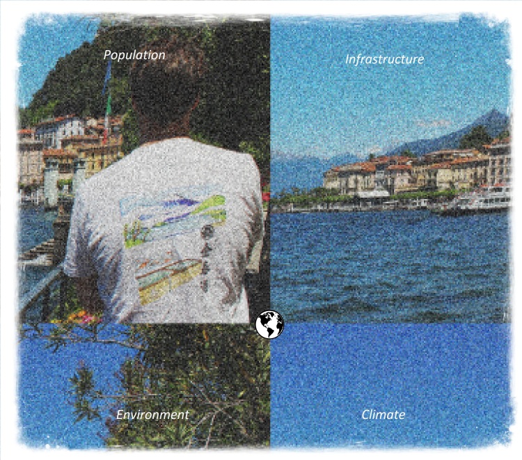
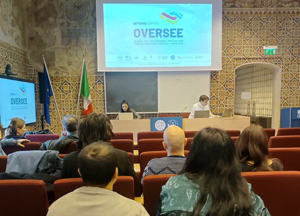
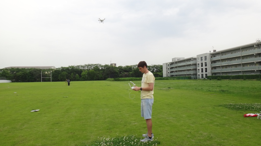
Gallery


‘You never finish learning to read. Maybe you never finish learning to live.‘
J.L. Borges
Links
Here you can find links related to some institutions which I’ve been working with:
International
- United Nations Office for Disaster Risk Reduction – https://www.undrr.org/
- Centro Euro Mediterraneo sui Cambiamenti Climatici – https://www.cmcc.it/it
- European Space Agency – https://www.esa.int/
- International Cartographic Association – https://icaci.org/
- Global Alliance of Disaster Research Institutions – https://gadri.net/
USA
- NASA Jet Propulsion Laboratory https://www.jpl.nasa.gov/
- NASA Goddard Space Flight Center https://www.nasa.gov/goddard/
- Mountain State University
Japan
- Center for Spatial Information Science – The University of Tokyo – http://www.csis.u-tokyo.ac.jp/english/
- Graduate School of Frontier Sciences – The University of Tokyo – https://www.k.u-tokyo.ac.jp/index.html.en
Italy
- CIMA Research Foundation – https://www.cimafoundation.org/
- Italian Space Agency – https://www.asi.it/
- Italian Civil Protection – https://www.protezionecivile.gov.it/it/index.html
- Fondazione Cariplo – https://www.fondazionecariplo.it/it/index.html
- Tre Altamira – https://site.tre-altamira.com/
- Fondazione Eucentre – https://www.eucentre.it/
- D-Orbit – https://www.dorbit.space/
Argentina
- National Space Agency of Argentina – https://www.argentina.gob.ar/ciencia/conae
- The University School for Advanced Studies IUSS Pavia – http://www.iusspavia.it/home
- National Geographic Institute of Argentina – https://www.ign.gob.ar/
- University of Buenos Aires – School of Philosophy and Literature School – Philosophy and Literature School – http://www.filo.uba.ar/
- The Argentine Republic Spatial Data Infrastructure (IDERA) – https://www.idera.gob.ar/
- National Water Institute of Argentina – https://www.argentina.gob.ar/ina
- Argentinian Meteorological Agency – https://www.smn.gob.ar/
Follow Me
Location 1
University College London, Gower Street, London, WC1E 6BT Tel: +44 (0) 20 7679 2000
Location 2
IUSS School, Piazza della Vittoria, n.15 27100, Pavia (PV), Italy
